{"type":"FeatureCollection","features":[{"type":"Feature","properties":{"linkId":"jobarugawa-hideki-bridge","popup":"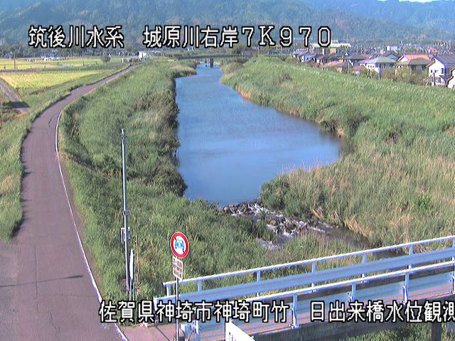 距離7.97km
城原川・日出来橋
佐賀県神埼市神埼町
映像の更新間隔:1分","iconName":"marker-icon-cyan","iconName2x":"marker-icon-cyan-2x"},"geometry":{"type":"Point","coordinates":[130.3663608,33.3134991]}},{"type":"Feature","properties":{"linkId":"shimoyugegawa-edamitsu-ps","popup":"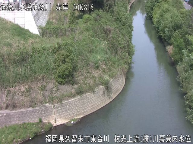 距離30.815km
下弓削川・枝光排水機場
福岡県久留米市東合川
映像の更新間隔:1分","iconName":"marker-icon-cyan","iconName2x":"marker-icon-cyan-2x"},"geometry":{"type":"Point","coordinates":[130.544125,33.322289]}},{"type":"Feature","properties":{"linkId":"yasuragawa-kihei-bridge","popup":"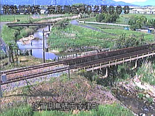 距離2km
距離2km
安良川・喜平橋
佐賀県鳥栖市轟木町
映像の更新間隔:1分","iconName":"marker-icon-cyan","iconName2x":"marker-icon-cyan-2x"},"geometry":{"type":"Point","coordinates":[130.497941,33.357484]}},{"type":"Feature","properties":{"linkId":"kanemarugawa-kogasaka-ps","popup":"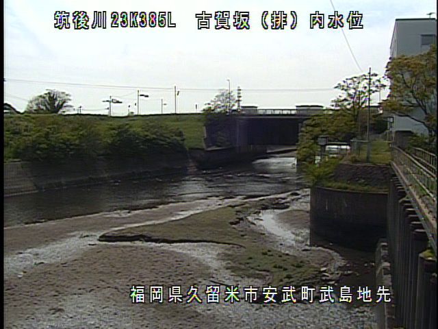 距離23.385km
金丸川・古賀坂排水機場
福岡県久留米市安武町武島
映像の更新間隔:1分","iconName":"marker-icon-cyan","iconName2x":"marker-icon-cyan-2x"},"geometry":{"type":"Point","coordinates":[130.484925,33.302667]}},{"type":"Feature","properties":{"linkId":"chikugogawa-senoshita","popup":"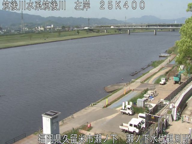 距離25.4km
筑後川・瀬ノ下
福岡県久留米市瀬下町
映像の更新間隔:1分","iconName":"marker-icon-cyan","iconName2x":"marker-icon-cyan-2x"},"geometry":{"type":"Point","coordinates":[130.4946567,33.3188534]}},{"type":"Feature","properties":{"linkId":"chikugogawa-beniya","popup":"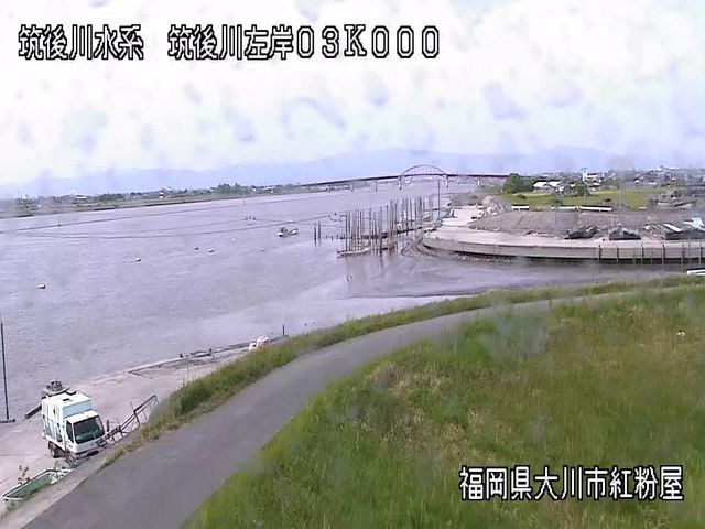 距離3km
距離3km
筑後川・紅粉屋
福岡県大川市大字紅粉屋
映像の更新間隔:1分","iconName":"marker-icon-cyan","iconName2x":"marker-icon-cyan-2x"},"geometry":{"type":"Point","coordinates":[130.3563861,33.18083056]}},{"type":"Feature","properties":{"linkId":"chikugogawa-kobo","popup":"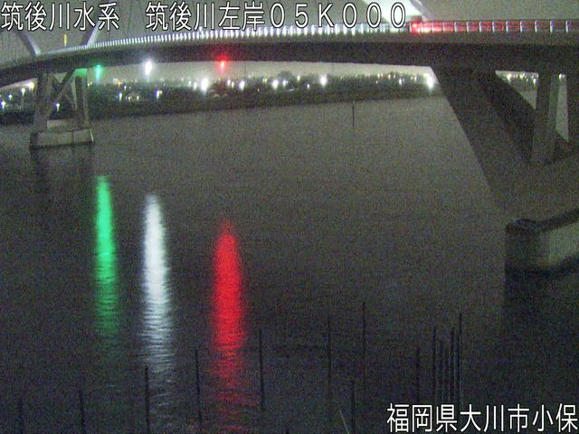 距離5km
距離5km
筑後川・小保
福岡県大川市大字小保
映像の更新間隔:1分","iconName":"marker-icon-cyan","iconName2x":"marker-icon-cyan-2x"},"geometry":{"type":"Point","coordinates":[130.3604722,33.20166667]}},{"type":"Feature","properties":{"linkId":"chikugogawa-shokaikyo-down","popup":"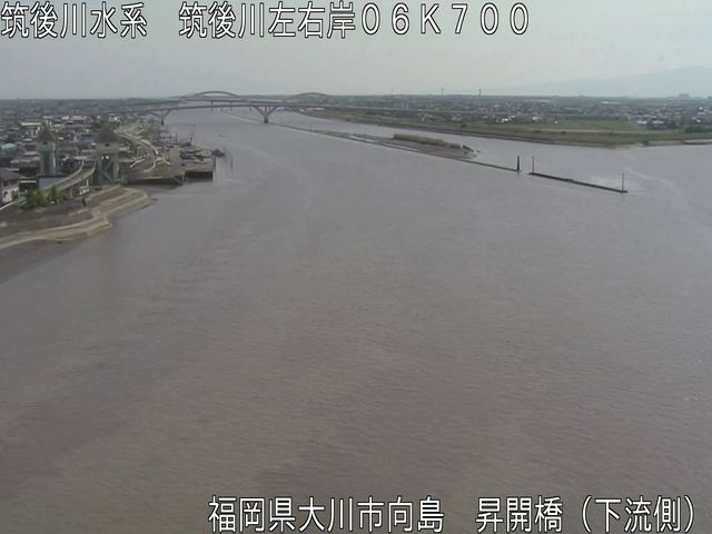 距離6.7km
筑後川・昇開橋下流
福岡県大川市向島
映像の更新間隔:1分","iconName":"marker-icon-cyan","iconName2x":"marker-icon-cyan-2x"},"geometry":{"type":"Point","coordinates":[130.3614361,33.21523889]}},{"type":"Feature","properties":{"linkId":"chikugogawa-shokaikyo-up","popup":"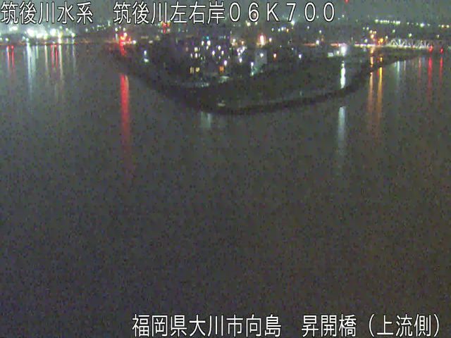 距離6.7km
筑後川・昇開橋上流
福岡県大川市向島
映像の更新間隔:1分","iconName":"marker-icon-cyan","iconName2x":"marker-icon-cyan-2x"},"geometry":{"type":"Point","coordinates":[130.3618444,33.21524167]}},{"type":"Feature","properties":{"linkId":"chikugogawa-wakatsu","popup":"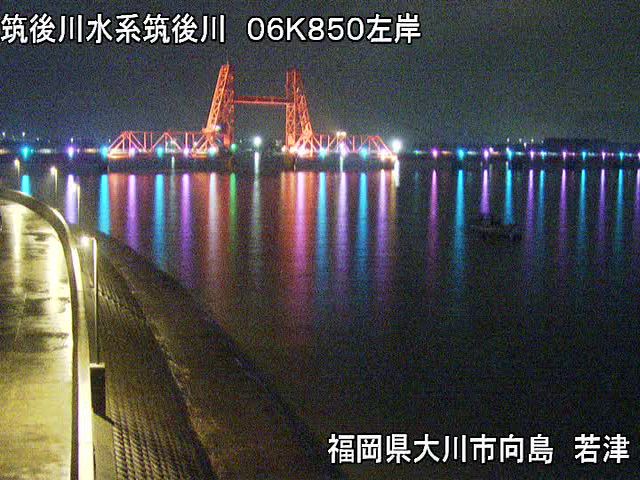 距離6.85km
筑後川・若津
福岡県大川市大字向島
映像の更新間隔:1分","iconName":"marker-icon-cyan","iconName2x":"marker-icon-cyan-2x"},"geometry":{"type":"Point","coordinates":[130.3659917,33.215875]}},{"type":"Feature","properties":{"linkId":"chikugogawa-aoki-sg","popup":"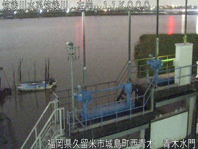 距離11km
筑後川・青木水門
福岡県久留米市城島町西青木
映像の更新間隔:1分","iconName":"marker-icon-cyan","iconName2x":"marker-icon-cyan-2x"},"geometry":{"type":"Point","coordinates":[130.3903611,33.24222222]}},{"type":"Feature","properties":{"linkId":"chikugogawa-ukishima-ps-out","popup":"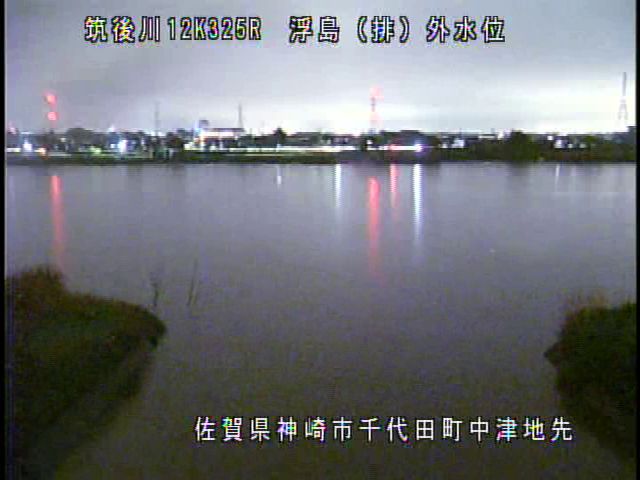 距離12.325km
筑後川・浮島排水機場外
佐賀県神埼市千代田町迎島
映像の更新間隔:1分","iconName":"marker-icon-cyan","iconName2x":"marker-icon-cyan-2x"},"geometry":{"type":"Point","coordinates":[130.4022222,33.25055556]}},{"type":"Feature","properties":{"linkId":"chikugogawa-ukishima-ps-in","popup":"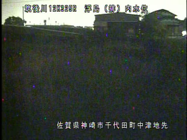
筑後川・浮島排水機場内
佐賀県神埼市千代田町迎島
映像の更新間隔:1分","iconName":"marker-icon-cyan","iconName2x":"marker-icon-cyan-2x"},"geometry":{"type":"Point","coordinates":[130.4021667,33.25238333]}},{"type":"Feature","properties":{"linkId":"chikugogawa-yamanoi-down-ps-out","popup":"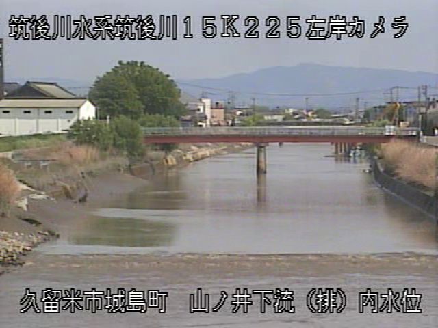
筑後川・山ノ井下流排水機場内
福岡県久留米市城島町城島
映像の更新間隔:1分","iconName":"marker-icon-cyan","iconName2x":"marker-icon-cyan-2x"},"geometry":{"type":"Point","coordinates":[130.4245472,33.26396111]}},{"type":"Feature","properties":{"linkId":"chikugogawa-shimoda-longbridge-up","popup":"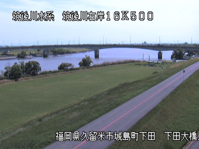 距離16.5km
筑後川・下田大橋上流
福岡県久留米市城島町下田
映像の更新間隔:1分","iconName":"marker-icon-cyan","iconName2x":"marker-icon-cyan-2x"},"geometry":{"type":"Point","coordinates":[130.4347222,33.272775]}},{"type":"Feature","properties":{"linkId":"chikugogawa-mamezu-bridge","popup":"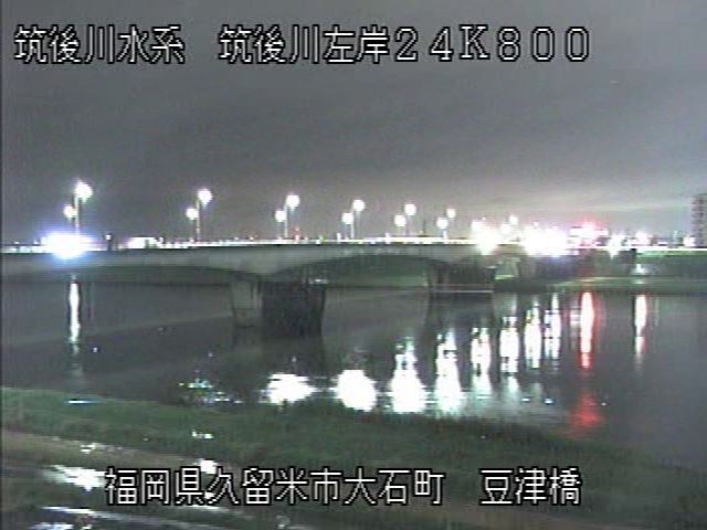 距離24.8km
筑後川・豆津橋
福岡県久留米市大石町
映像の更新間隔:1分","iconName":"marker-icon-cyan","iconName2x":"marker-icon-cyan-2x"},"geometry":{"type":"Point","coordinates":[130.49,33.31444444]}},{"type":"Feature","properties":{"linkId":"chikugogawa-chikugogawa-mb","popup":"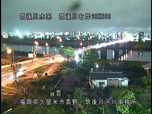 距離28.6km
筑後川・筑後川河川事務所屋上
福岡県久留米市高野
映像の更新間隔:1分","iconName":"marker-icon-cyan","iconName2x":"marker-icon-cyan-2x"},"geometry":{"type":"Point","coordinates":[130.5255556,33.33138889]}},{"type":"Feature","properties":{"linkId":"chikugogawa-tachiaraimachi-ps-in","popup":"
筑後川・大刀洗排水機場内
福岡県久留米市北野町上弓削
映像の更新間隔:1分","iconName":"marker-icon-cyan","iconName2x":"marker-icon-cyan-2x"},"geometry":{"type":"Point","coordinates":[130.5565556,33.33099444]}},{"type":"Feature","properties":{"linkId":"chikugogawa-egawa-ps-in","popup":"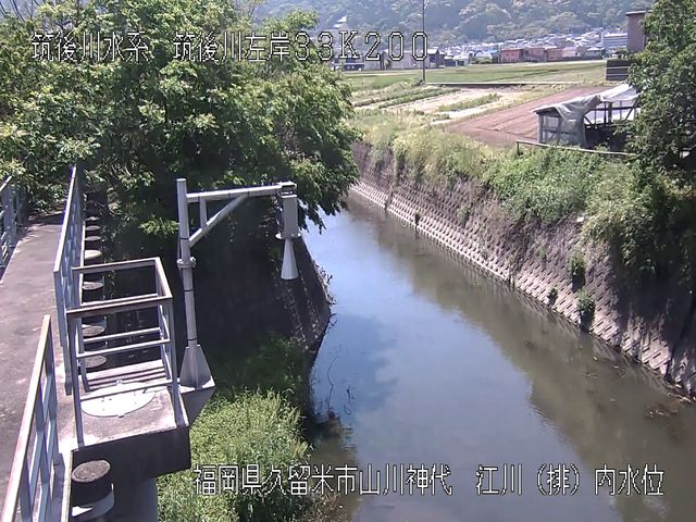
筑後川・江川排水機場内
福岡県久留米市山川神代
映像の更新間隔:1分","iconName":"marker-icon-cyan","iconName2x":"marker-icon-cyan-2x"},"geometry":{"type":"Point","coordinates":[130.5675417,33.32496111]}},{"type":"Feature","properties":{"linkId":"chikugogawa-kyujinyagawa-gp","popup":"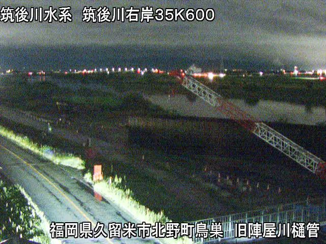 距離35.6km
筑後川・旧陣屋川樋管
福岡県久留米市北野町鳥巣
映像の更新間隔:1分","iconName":"marker-icon-cyan","iconName2x":"marker-icon-cyan-2x"},"geometry":{"type":"Point","coordinates":[130.5849111,33.33238889]}},{"type":"Feature","properties":{"linkId":"chikugogawa-jinyagawa-ps-in","popup":"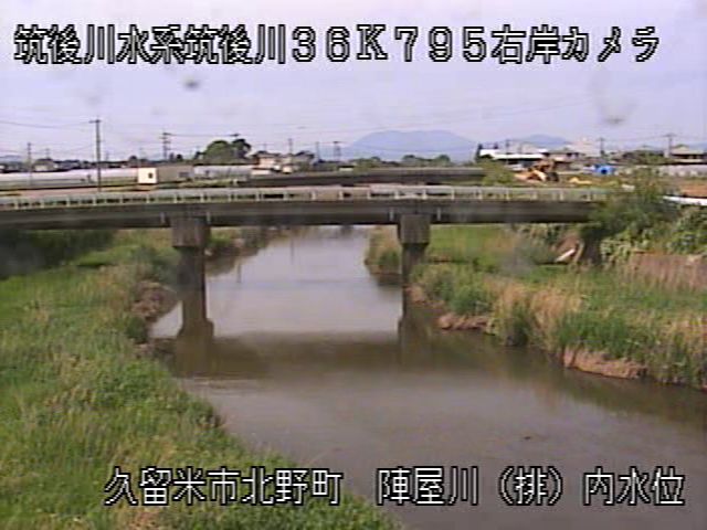
筑後川・陣屋川排水機場内
福岡県久留米市北野町中島
映像の更新間隔:1分","iconName":"marker-icon-cyan","iconName2x":"marker-icon-cyan-2x"},"geometry":{"type":"Point","coordinates":[130.5951917,33.34033889]}},{"type":"Feature","properties":{"linkId":"chikugogawa-oki-bridge-up","popup":"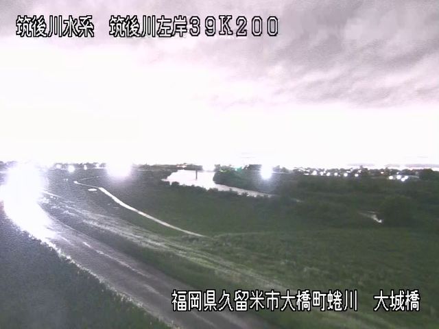 距離39.2km
筑後川・大城橋上流
福岡県久留米市大橋町蜷川
映像の更新間隔:1分","iconName":"marker-icon-cyan","iconName2x":"marker-icon-cyan-2x"},"geometry":{"type":"Point","coordinates":[130.6220639,33.34535833]}},{"type":"Feature","properties":{"linkId":"chikugogawa-katanose-bo","popup":"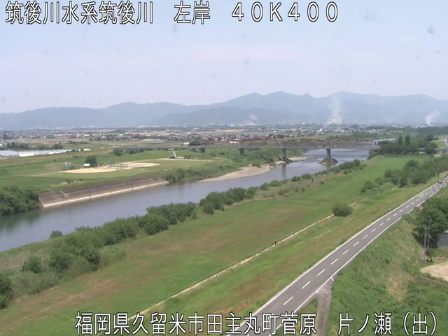 距離40.4km
筑後川・片ノ瀬出張所屋上
福岡県久留米市田主丸町菅原
映像の更新間隔:1分","iconName":"marker-icon-cyan","iconName2x":"marker-icon-cyan-2x"},"geometry":{"type":"Point","coordinates":[130.6336083,33.35166389]}},{"type":"Feature","properties":{"linkId":"chikugogawa-yahata-ps-in","popup":"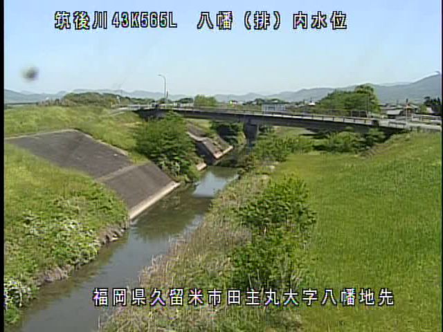
筑後川・八幡排水機場内
福岡県久留米市田主丸町八幡
映像の更新間隔:1分","iconName":"marker-icon-cyan","iconName2x":"marker-icon-cyan-2x"},"geometry":{"type":"Point","coordinates":[130.66,33.36113056]}},{"type":"Feature","properties":{"linkId":"chikugogawa-shinkatsuragawa-sg","popup":"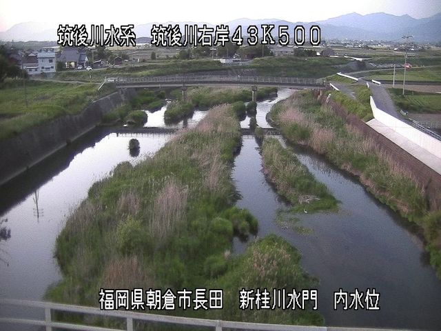
筑後川・新桂川水門内
福岡県朝倉市下長田
映像の更新間隔:1分","iconName":"marker-icon-cyan","iconName2x":"marker-icon-cyan-2x"},"geometry":{"type":"Point","coordinates":[130.6611111,33.36472222]}},{"type":"Feature","properties":{"linkId":"chikugogawa-sennen-bunsuiro","popup":"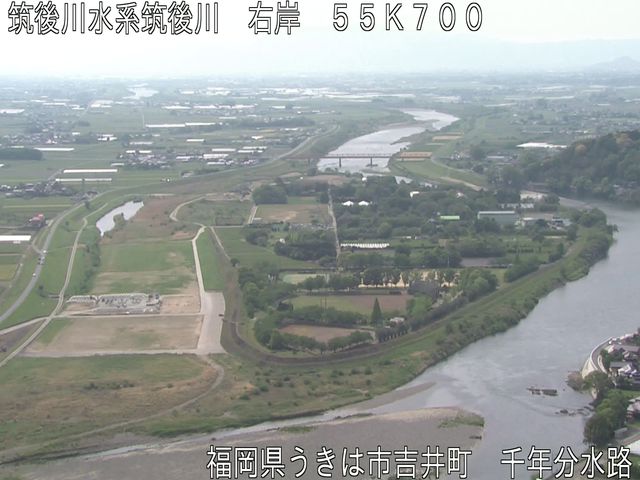 距離55.7km
筑後川・千年分水路
福岡県朝倉市杷木久喜宮
映像の更新間隔:1分","iconName":"marker-icon-cyan","iconName2x":"marker-icon-cyan-2x"},"geometry":{"type":"Point","coordinates":[130.7816639,33.35638611]}},{"type":"Feature","properties":{"linkId":"chikugogawa-harazuru","popup":" 距離56.3km
筑後川・原鶴
福岡県朝倉市杷木久喜宮
映像の更新間隔:1分","iconName":"marker-icon-cyan","iconName2x":"marker-icon-cyan-2x"},"geometry":{"type":"Point","coordinates":[130.7838417,33.3514]}},{"type":"Feature","properties":{"linkId":"chikugogawa-hita-bo","popup":"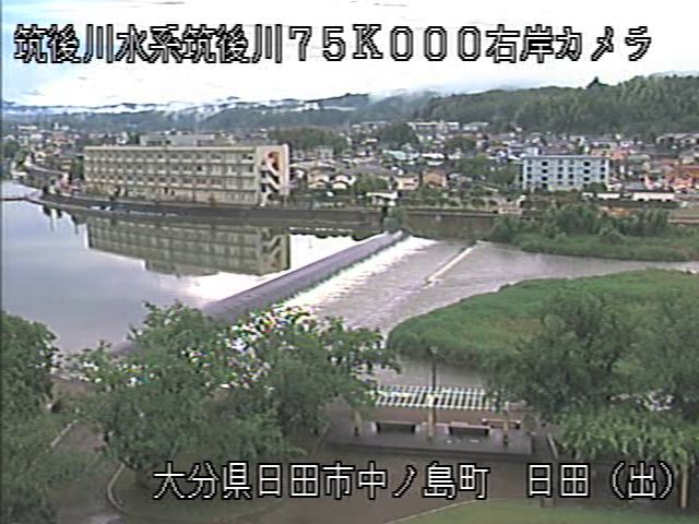 距離76.5km
筑後川・日田出張所屋上
大分県日田市中ノ島町
映像の更新間隔:1分","iconName":"marker-icon-cyan","iconName2x":"marker-icon-cyan-2x"},"geometry":{"type":"Point","coordinates":[130.9261417,33.31288056]}},{"type":"Feature","properties":{"linkId":"chikugogawa-shimauchi-gp-cl","popup":"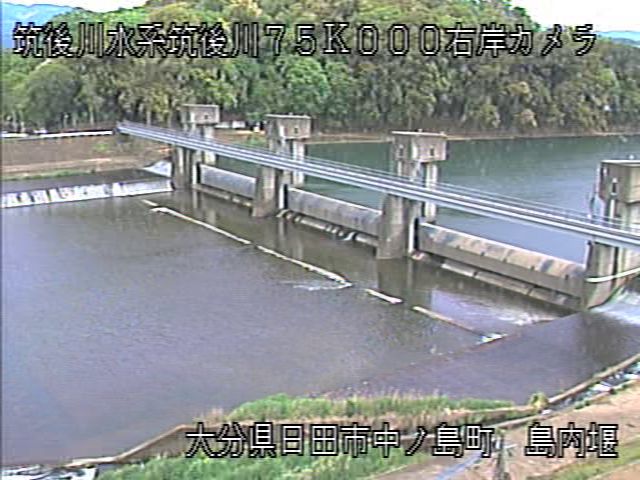 距離76.5km
筑後川・島内堰操作室
大分県日田市中ノ島町
映像の更新間隔:1分","iconName":"marker-icon-cyan","iconName2x":"marker-icon-cyan-2x"},"geometry":{"type":"Point","coordinates":[130.926875,33.31326111]}},{"type":"Feature","properties":{"linkId":"chikugogawa-kuma-wlo","popup":"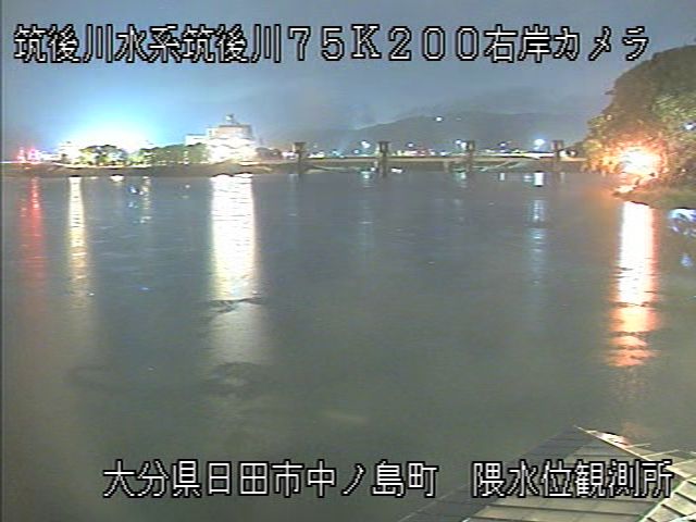
筑後川・隈観測所
大分県日田市隈
映像の更新間隔:1分","iconName":"marker-icon-cyan","iconName2x":"marker-icon-cyan-2x"},"geometry":{"type":"Point","coordinates":[130.9305694,33.31272778]}},{"type":"Feature","properties":{"linkId":"chikugogawa-kobuchi","popup":"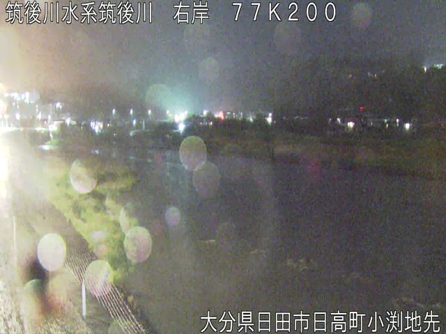 距離77.2km
筑後川・小渕
大分県日田市三芳小渕町
映像の更新間隔:1分","iconName":"marker-icon-cyan","iconName2x":"marker-icon-cyan-2x"},"geometry":{"type":"Point","coordinates":[130.9453361,33.30498611]}},{"type":"Feature","properties":{"linkId":"chikugogawa-senjo-bridge","popup":" 距離81.3km
筑後川・千丈橋
大分県日田市大山町東大山
映像の更新間隔:1分","iconName":"marker-icon-cyan","iconName2x":"marker-icon-cyan-2x"},"geometry":{"type":"Point","coordinates":[130.9599056,33.27184722]}},{"type":"Feature","properties":{"linkId":"chikugogawa-koitsuma","popup":"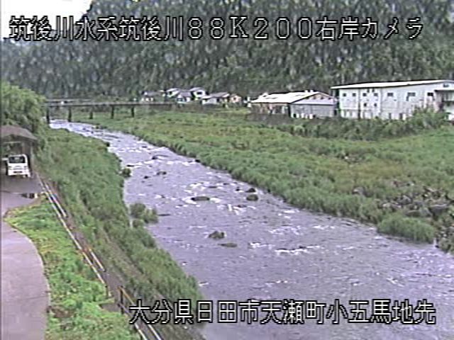 距離88.5km
筑後川・小五馬
大分県日田市大山町東大山
映像の更新間隔:1分","iconName":"marker-icon-cyan","iconName2x":"marker-icon-cyan-2x"},"geometry":{"type":"Point","coordinates":[130.984775,33.22849167]}},{"type":"Feature","properties":{"linkId":"homangawa-hasuhara-ps","popup":"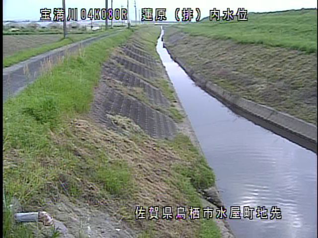
宝満川・蓮原排水機場
佐賀県鳥栖市水屋町
映像の更新間隔:1分","iconName":"marker-icon-cyan","iconName2x":"marker-icon-cyan-2x"},"geometry":{"type":"Point","coordinates":[130.532588,33.349958]}},{"type":"Feature","properties":{"linkId":"homangawa-komorino-ps","popup":"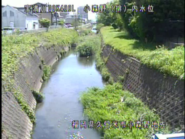
宝満川・小森野排水機場
福岡県久留米市小森野
映像の更新間隔:1分","iconName":"marker-icon-cyan","iconName2x":"marker-icon-cyan-2x"},"geometry":{"type":"Point","coordinates":[130.508053,33.336881]}},{"type":"Feature","properties":{"linkId":"yabegawa-ayahiro-ps","popup":"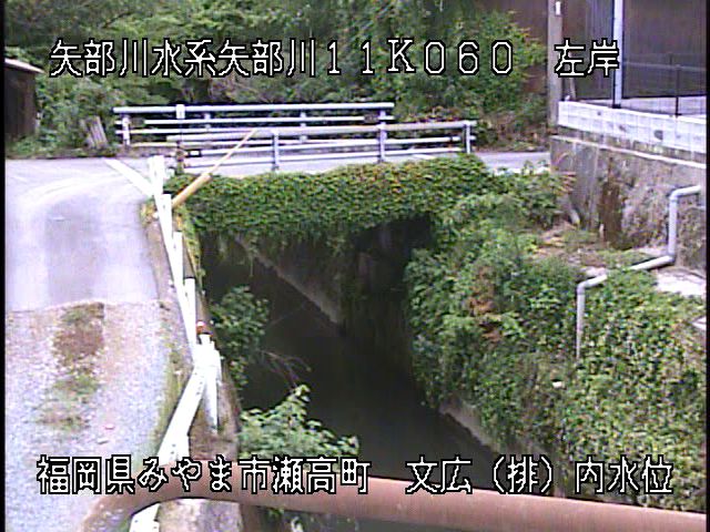
矢部川・文広排水機場
福岡県みやま市瀬高町文廣
映像の更新間隔:1分","iconName":"marker-icon-cyan","iconName2x":"marker-icon-cyan-2x"},"geometry":{"type":"Point","coordinates":[130.472068,33.16053]}},{"type":"Feature","properties":{"linkId":"chikugogawa-emijoryu-ps","popup":"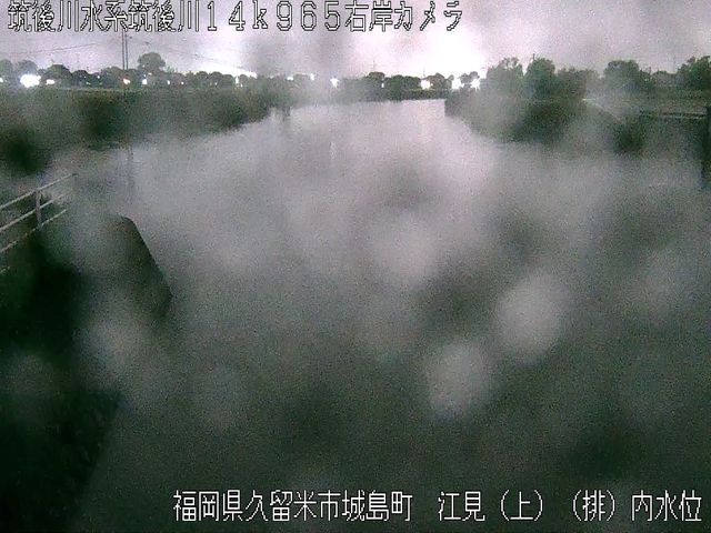
筑後川・江見上流排水機場
福岡県久留米市城島町下田
映像の更新間隔:1分","iconName":"marker-icon-cyan","iconName2x":"marker-icon-cyan-2x"},"geometry":{"type":"Point","coordinates":[130.418419,33.264176]}},{"type":"Feature","properties":{"linkId":"chikugogawa-emi-ps","popup":"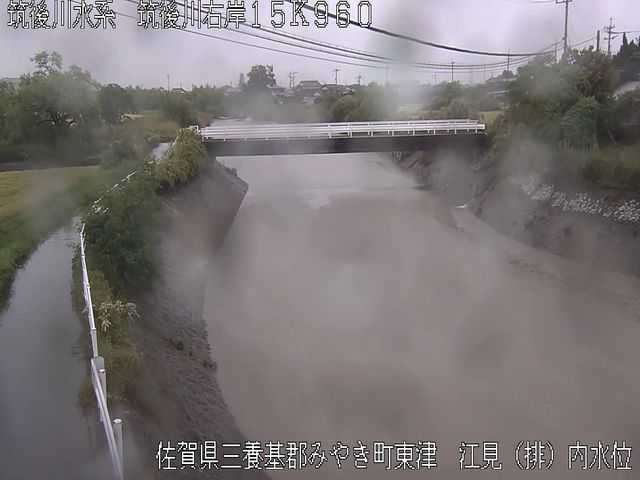
筑後川・江見排水機場
佐賀県みやき町東津
映像の更新間隔:1分","iconName":"marker-icon-cyan","iconName2x":"marker-icon-cyan-2x"},"geometry":{"type":"Point","coordinates":[130.428178,33.272398]}},{"type":"Feature","properties":{"linkId":"homangawa-shianbashi-ps","popup":"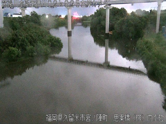
宝満川・思案橋排水機場
福岡県久留米市宮ノ陣
映像の更新間隔:1分","iconName":"marker-icon-cyan","iconName2x":"marker-icon-cyan-2x"},"geometry":{"type":"Point","coordinates":[130.527951,33.339723]}},{"type":"Feature","properties":{"linkId":"yabegawa-tsushima","popup":"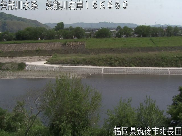
矢部川・津島
福岡県筑後市津島
映像の更新間隔:1分","iconName":"marker-icon-cyan","iconName2x":"marker-icon-cyan-2x"},"geometry":{"type":"Point","coordinates":[130.501844,33.181133]}},{"type":"Feature","properties":{"linkId":"kagetsugawa-miyuki-bridge","popup":"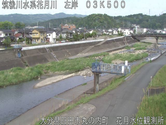
花月川・御幸橋
大分県日田市丸の内町
映像の更新間隔:1分","iconName":"marker-icon-cyan","iconName2x":"marker-icon-cyan-2x"},"geometry":{"type":"Point","coordinates":[130.933681,33.329516]}},{"type":"Feature","properties":{"linkId":"kosegawa-chuo-bridge","popup":"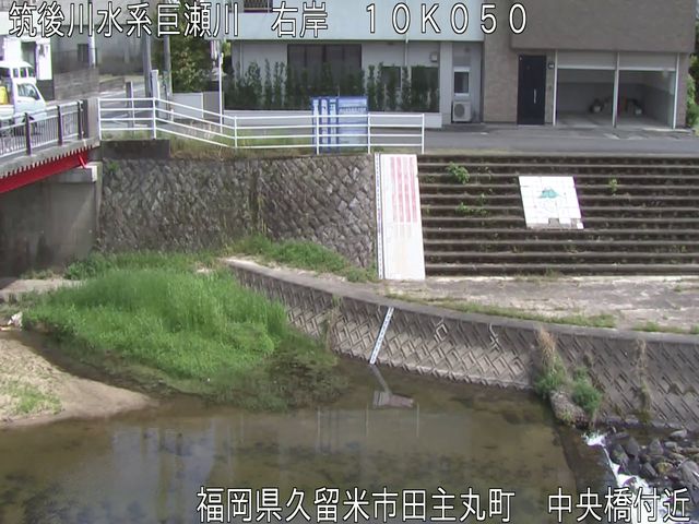
巨瀬川・中央橋
福岡県久留米市田主丸町
映像の更新間隔:1分","iconName":"marker-icon-cyan","iconName2x":"marker-icon-cyan-2x"},"geometry":{"type":"Point","coordinates":[130.691188,33.342375]}},{"type":"Feature","properties":{"linkId":"homangawa-hatama","popup":"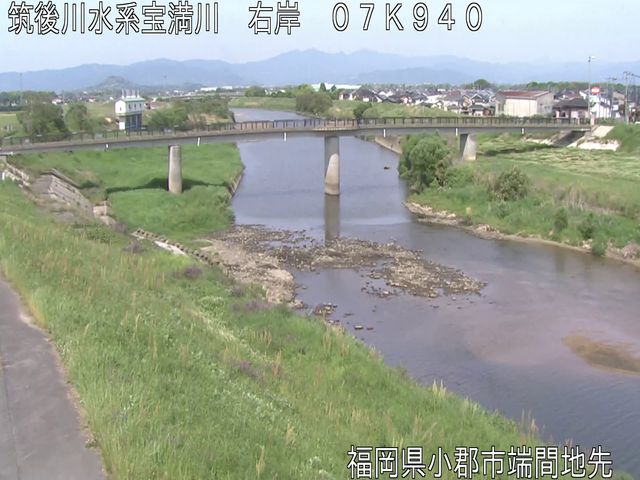
宝満川・端間
福岡県小郡市端間
映像の更新間隔:1分","iconName":"marker-icon-cyan","iconName2x":"marker-icon-cyan-2x"},"geometry":{"type":"Point","coordinates":[130.551141,33.376706]}},{"type":"Feature","properties":{"linkId":"tategawa-joto-bridge-ds","popup":"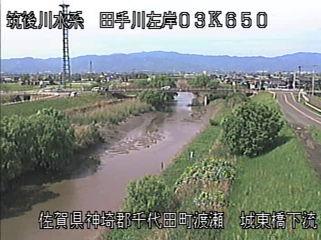
田手川・城東橋下流
佐賀県千代田町渡瀬
映像の更新間隔:1分","iconName":"marker-icon-cyan","iconName2x":"marker-icon-cyan-2x"},"geometry":{"type":"Point","coordinates":[130.393704,33.276993]}},{"type":"Feature","properties":{"linkId":"hayatsuegawa-kawasoe-longbridge","popup":"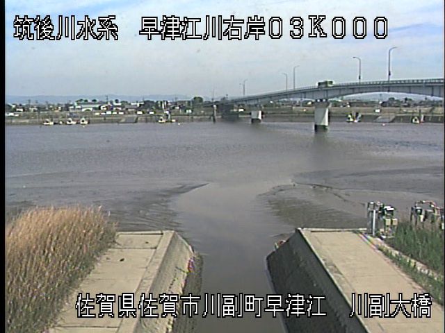
早津江川・川副大橋
佐賀県佐賀市川副町早津江
映像の更新間隔:1分","iconName":"marker-icon-cyan","iconName2x":"marker-icon-cyan-2x"},"geometry":{"type":"Point","coordinates":[130.337311,33.184523]}},{"type":"Feature","properties":{"linkId":"hirokawa-seibu-bousai-station","popup":"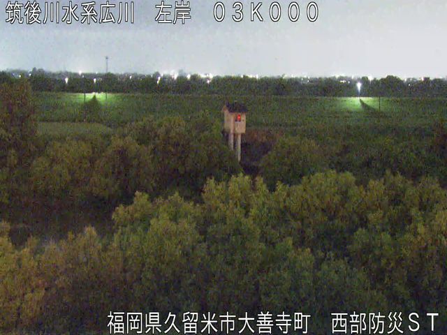
広川・西部防災ステーション
福岡県久留米市大善寺町
映像の更新間隔:1分","iconName":"marker-icon-cyan","iconName2x":"marker-icon-cyan-2x"},"geometry":{"type":"Point","coordinates":[130.454102,33.276724]}},{"type":"Feature","properties":{"linkId":"yamanoigawa-jojima-longbridge","popup":"
山ノ井川・城島大橋
福岡県久留米市城島町城島
映像の更新間隔:5分","iconName":"marker-icon-cyan","iconName2x":"marker-icon-cyan-2x"},"geometry":{"type":"Point","coordinates":[130.43275,33.259]}},{"type":"Feature","properties":{"linkId":"shimoyugegawa-shimodozoe-bridge","popup":"
下弓削川・下道添橋
福岡県久留米市東合川
映像の更新間隔:5分","iconName":"marker-icon-cyan","iconName2x":"marker-icon-cyan-2x"},"geometry":{"type":"Point","coordinates":[130.555901,33.322907]}},{"type":"Feature","properties":{"linkId":"jinyagawa-shinkin-bridge","popup":"
陣屋川・新近橋
福岡県久留米市北野町今山
映像の更新間隔:5分","iconName":"marker-icon-cyan","iconName2x":"marker-icon-cyan-2x"},"geometry":{"type":"Point","coordinates":[130.580912,33.341443]}},{"type":"Feature","properties":{"linkId":"fudogawa-fujimachigawa-confl","popup":"
不動川・藤町川合流部
福岡県久留米市善導寺町飯田
映像の更新間隔:5分","iconName":"marker-icon-cyan","iconName2x":"marker-icon-cyan-2x"},"geometry":{"type":"Point","coordinates":[130.609575,33.32943]}},{"type":"Feature","properties":{"linkId":"chijigawa-nakajima-bridgi","popup":"
築地川・中島橋
福岡県小郡市大崎
映像の更新間隔:5分","iconName":"marker-icon-cyan","iconName2x":"marker-icon-cyan-2x"},"geometry":{"type":"Point","coordinates":[130.55694,33.385424]}},{"type":"Feature","properties":{"linkId":"kanamarugawa-ikemachigawa-confl","popup":"
金丸川・池町川合流部
福岡県久留米市津福本町津福本町
映像の更新間隔:5分","iconName":"marker-icon-cyan","iconName2x":"marker-icon-cyan-2x"},"geometry":{"type":"Point","coordinates":[130.49247,33.302204]}},{"type":"Feature","properties":{"linkId":"tachiaraigawa-nishinomiya-bridge","popup":"
大刀洗川・西の宮橋
福岡県久留米市宮ノ陣町八丁島
映像の更新間隔:5分","iconName":"marker-icon-cyan","iconName2x":"marker-icon-cyan-2x"},"geometry":{"type":"Point","coordinates":[130.565728,33.343136]}},{"type":"Feature","properties":{"linkId":"ikemachigawa-nishinawate-bridge","popup":"
池町川・西縄手橋
福岡県久留米市縄手町
映像の更新間隔:5分","iconName":"marker-icon-cyan","iconName2x":"marker-icon-cyan-2x"},"geometry":{"type":"Point","coordinates":[130.501453,33.318024]}},{"type":"Feature","properties":{"linkId":"inaibaragawa-kubotori-bridge","popup":"
荷原川・久保鳥橋
福岡県朝倉市大庭
映像の更新間隔:5分","iconName":"marker-icon-cyan","iconName2x":"marker-icon-cyan-2x"},"geometry":{"type":"Point","coordinates":[130.712019,33.392348]}},{"type":"Feature","properties":{"linkId":"katsuragawa-hiramatsu-bridge","popup":"
桂川・比良松橋
福岡県朝倉市宮野
映像の更新間隔:5分","iconName":"marker-icon-cyan","iconName2x":"marker-icon-cyan-2x"},"geometry":{"type":"Point","coordinates":[130.724022,33.385259]}},{"type":"Feature","properties":{"linkId":"naragayagawa-naragaya-sd","popup":"
奈良ヶ谷川・奈良ヶ谷砂防堰堤
福岡県朝倉市山田
映像の更新間隔:5分","iconName":"marker-icon-cyan","iconName2x":"marker-icon-cyan-2x"},"geometry":{"type":"Point","coordinates":[130.767033,33.383157]}},{"type":"Feature","properties":{"linkId":"kitagawa-kanda-bridge","popup":"
北川・神田橋
福岡県朝倉市杷木志波
映像の更新間隔:5分","iconName":"marker-icon-cyan","iconName2x":"marker-icon-cyan-2x"},"geometry":{"type":"Point","coordinates":[130.774165,33.367203]}},{"type":"Feature","properties":{"linkId":"domekigawa-hanadate-sd","popup":"
導目木川・花立砂防堰堤下流
福岡県朝倉市杷木志波
映像の更新間隔:5分","iconName":"marker-icon-cyan","iconName2x":"marker-icon-cyan-2x"},"geometry":{"type":"Point","coordinates":[130.787647,33.38274]}},{"type":"Feature","properties":{"linkId":"shozugawa-oita-expway-under","popup":"
寒水川・大分自動車道下
福岡県朝倉市杷木寒水
映像の更新間隔:5分","iconName":"marker-icon-cyan","iconName2x":"marker-icon-cyan-2x"},"geometry":{"type":"Point","coordinates":[130.805105,33.369475]}},{"type":"Feature","properties":{"linkId":"shirakitanigawa-maeda-bridge","popup":"
白木谷川・前田橋上流
福岡県朝倉市杷木林田
映像の更新間隔:5分","iconName":"marker-icon-cyan","iconName2x":"marker-icon-cyan-2x"},"geometry":{"type":"Point","coordinates":[130.820638,33.366526]}},{"type":"Feature","properties":{"linkId":"akatanigawa-kubogaki-bridge","popup":"
赤谷川・久保垣橋
福岡県朝倉市杷木林田
映像の更新間隔:5分","iconName":"marker-icon-cyan","iconName2x":"marker-icon-cyan-2x"},"geometry":{"type":"Point","coordinates":[130.827531,33.366295]}},{"type":"Feature","properties":{"linkId":"ohigawa-komatsu-bridge-ds-jr-bridge","popup":"
大肥川・小松橋下流JR橋
福岡県東峰村福井
映像の更新間隔:5分","iconName":"marker-icon-cyan","iconName2x":"marker-icon-cyan-2x"},"geometry":{"type":"Point","coordinates":[130.878616,33.381048]}},{"type":"Feature","properties":{"linkId":"hoshuyamagawa-furushoya-bridge","popup":"
宝珠山川・古庄屋橋
福岡県東峰村宝珠山
映像の更新間隔:5分","iconName":"marker-icon-cyan","iconName2x":"marker-icon-cyan-2x"},"geometry":{"type":"Point","coordinates":[130.88022,33.419825]}},{"type":"Feature","properties":{"linkId":"myokengawa-myoken-bridge","popup":"
妙見川・妙見橋
福岡県朝倉市古毛
映像の更新間隔:5分","iconName":"marker-icon-cyan","iconName2x":"marker-icon-cyan-2x"},"geometry":{"type":"Point","coordinates":[130.736513,33.379735]}},{"type":"Feature","properties":{"linkId":"kurokawa-miyazono-bridge","popup":"
黒川・宮園橋
福岡県朝倉市黒川
映像の更新間隔:5分","iconName":"marker-icon-cyan","iconName2x":"marker-icon-cyan-2x"},"geometry":{"type":"Point","coordinates":[130.784013,33.398851]}},{"type":"Feature","properties":{"linkId":"akatanigawa-matsusue-elementary-school","popup":"
赤谷川・松末小学校
福岡県朝倉市杷木松末
映像の更新間隔:5分","iconName":"marker-icon-cyan","iconName2x":"marker-icon-cyan-2x"},"geometry":{"type":"Point","coordinates":[130.841217,33.382667]}},{"type":"Feature","properties":{"linkId":"ohigawa-nonaka-bridge","popup":"
大肥川・のなか橋
福岡県東峰村大字小石原鼓
映像の更新間隔:5分","iconName":"marker-icon-cyan","iconName2x":"marker-icon-cyan-2x"},"geometry":{"type":"Point","coordinates":[130.847742,33.424185]}},{"type":"Feature","properties":{"linkId":"tsuegawa-shimouke-dam-upstream","popup":"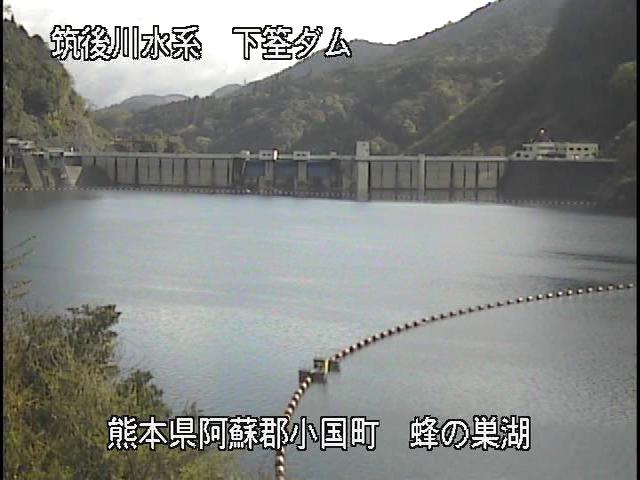
津江川・下筌ダム上流
熊本県小国町黒渕
映像の更新間隔:5分","iconName":"marker-icon-cyan","iconName2x":"marker-icon-cyan-2x"},"geometry":{"type":"Point","coordinates":[130.984647,33.158171]}},{"type":"Feature","properties":{"linkId":"tsuegawa-shimouke-dam-downstream","popup":"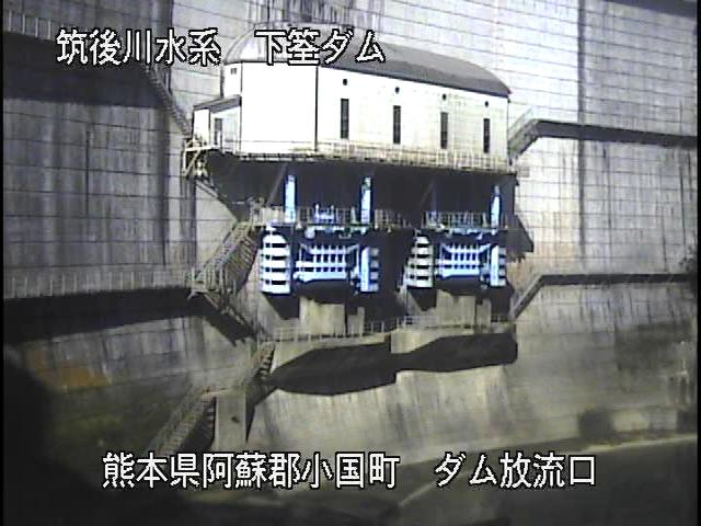
津江川・下筌ダム下流
熊本県小国町黒渕
映像の更新間隔:5分","iconName":"marker-icon-cyan","iconName2x":"marker-icon-cyan-2x"},"geometry":{"type":"Point","coordinates":[130.985172,33.159871]}},{"type":"Feature","properties":{"linkId":"oyamagawa-matsubara-dam-upstream","popup":"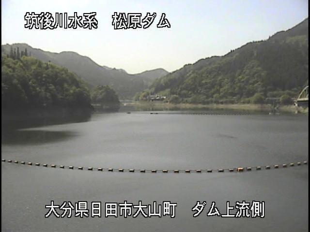
大山川・松原ダム上流
大分県日田市大山町
映像の更新間隔:5分","iconName":"marker-icon-cyan","iconName2x":"marker-icon-cyan-2x"},"geometry":{"type":"Point","coordinates":[130.992885,33.194666]}},{"type":"Feature","properties":{"linkId":"oyamagawa-matsubara-dam-downstream","popup":"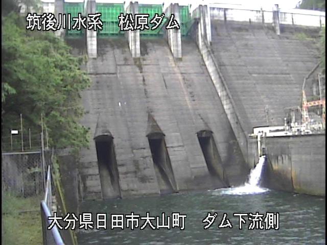
大山川・松原ダム下流
大分県日田市大山町西大山
映像の更新間隔:5分","iconName":"marker-icon-cyan","iconName2x":"marker-icon-cyan-2x"},"geometry":{"type":"Point","coordinates":[130.9918122,33.1937611]}}]}